Photo Links
West Dodge Aerial Photos
Westroad Old Mill Boys Town #1 Boys Town #2 Boys Town Farm Mega-Churches
USCS 1999 Satellite Photo of "Mega-Church" by MSN TerraServer
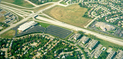
Dodge Street - Upper left to lower right. 156 Street - Left center to upper center of Photo Wycliff Drive - Curved street below Dodge & Trinity Church
Photo Above
Send your comments, suggestions or broken link reports to: sadams@Novia.net
The Aerial Photos background was drawn by Steve Adams. Last Update on February 12, 2004 at 16:00 UTC (10:00 am CST)