|
Right:
The North side of the Stone Arch Bridge
seen from Hennepin bluffs park Bridge. Beth is on
the right.
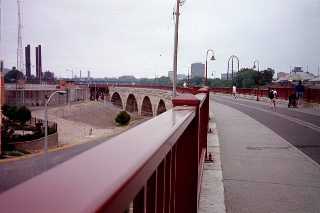
Left:
Looking "West" down the Stone Arch
Bridge.
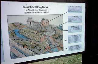
Photo's Midde right - West Side Milling District
& the downtown Minneapolis Skyline. On the left
- Don & Beth standing on the curve. Also see
 Photo
by PTM
Photo
by PTM
|


